The Flemish of Glenshee, Part Two: The Easter Bleaton Settlement
The blog posting dated the 25th of April set out evidence pointing to the existence of a community of Flemish people in Glenshee during the later Middle Ages and early modern period. In this posting David Strachan examines the ruined settlement at Easter Bleaton, in the south of Glenshee, that local oral tradition suggests was occupied by Flemish people.
The Settlement
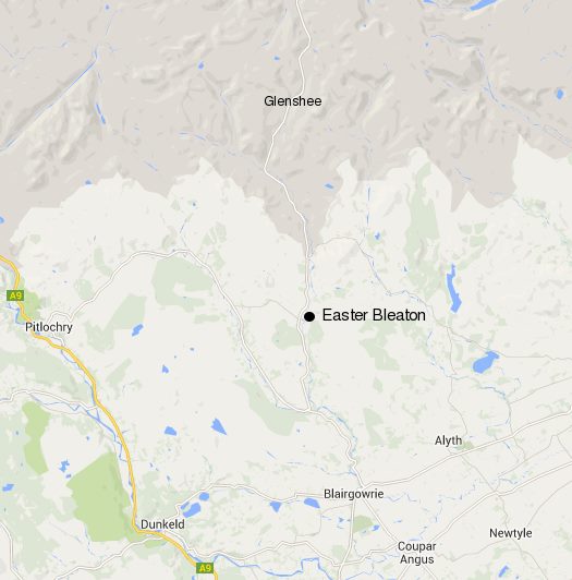
The fermtoun of Easter Bleaton in Glenshee (NO 144 586) is a substantial settlement well known to Scottish archaeologists as a result of a series of oblique aerial photographs taken by the Royal Commission on the Ancient and Historical Monuments of Scotland (RCAHMS) in 1987, and which first appeared in their North-east Perth: an archaeological landscape of 1990[[1]] along with results of a detailed survey of the structures.[[2]] The map below shows the position of the Easter Bleaton settlement.
Despite these images being widely used in publications and talks to illustrate what at that time was being referred to a Medieval or Later Rural Settlement or MOLRS, the site remained unprotected until, in my role as Area Archaeologist, I proposed to Historic Scotland that the site be treated as one of national importance, and as a result the site became a Scheduled Monument in 2003.
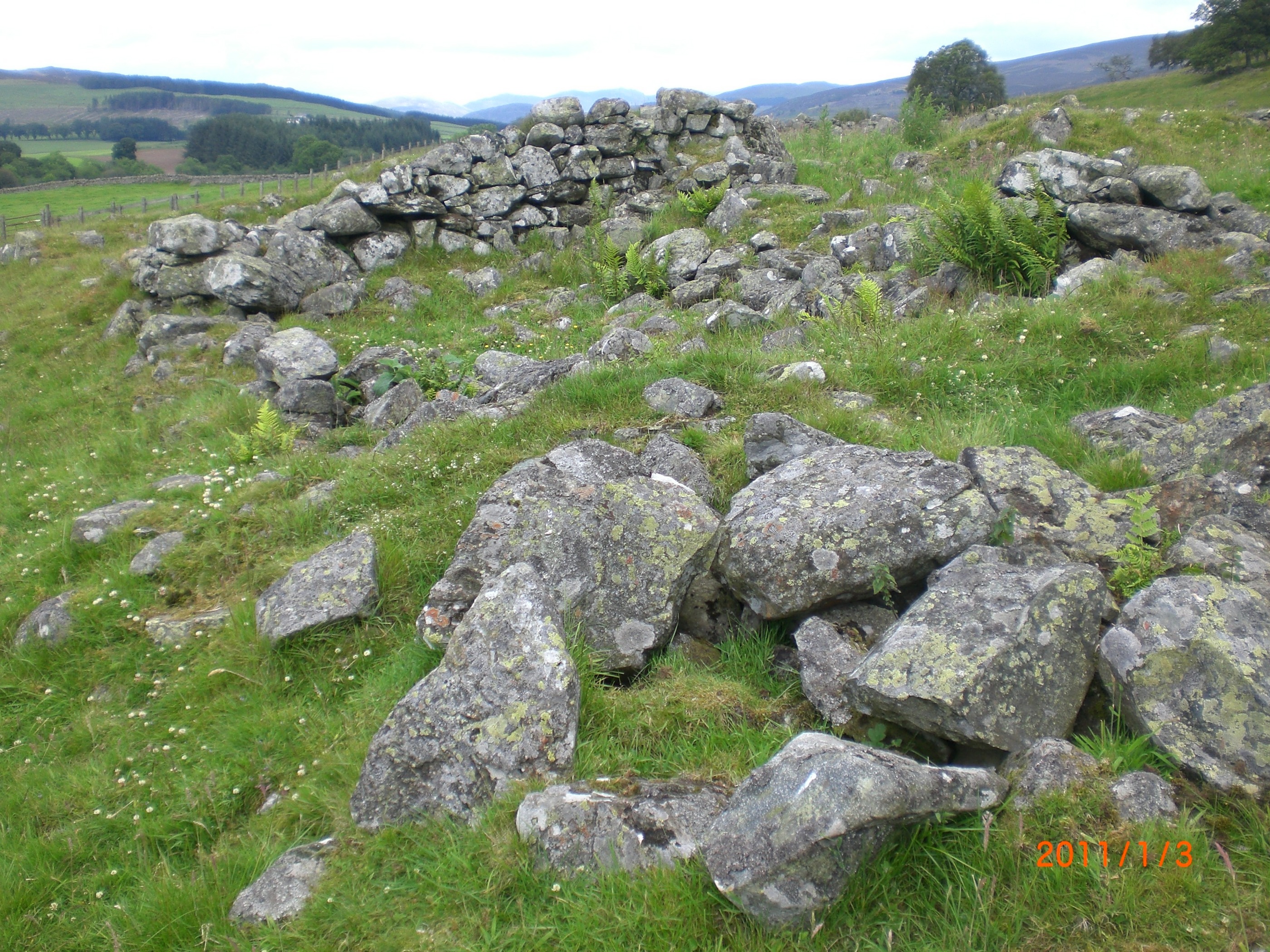
The monument comprises the well-preserved remains of a deserted settlement of post-medieval date, a well-preserved fermtoun in pasture on a west-facing terrace at about 300m OD, at the foot of Knockali and immediately above the floor of Glenshee. The settlement extends over a distance of some 800m from north to south and includes at least fifty-two buildings, their walls reduced to the lowest courses or to stone footings, and a series of related structures including four kilns and a series of five retting ponds. The RCAHMS survey suggests at least eight separate units, possibly reflecting the properties of individual tenants. The photograph below shows a portion of the remains of the settlement.
The surviving remains appear as ‘Up(per) Bleaton’ on Stobie’s map The counties of Perth and Clackmannan of 1783,[[3]] and the settlement type is consistent with the transition from pre-Improvement nucleated townships to the dispersed farmsteads of the post-Improvement era. Improvements in the late 18th century saw significant changes in the way the uplands were used, and the end of the old settlement patterns of ferms/fermtouns. These were replaced by more regularised field patterns and a dispersed pattern of single farms. Remarkably little else is known of the site, however.
The evidence presented in the blog posted on the 25th of April suggests that there were families of Flemings and Spaldings (both families of Flemish origin) living in the south of Glenshee around the time that the settlement was inhabited, and reportedly Easter Bleaton appears a number of times in documentation referring to people with the name Fleming or Spalding.
The Wider Picture
Perth and Kinross Heritage Trust, in partnership with Northlight Heritage, is in the third year of a project to explore the archaeological heritage of Glenshee. While the focus of the Glenshee Archaeology Project is the early medieval turf longhouses that survive there, and in Strathardle, the project will also attempt in the longer term to draw together settlement patterns throughout Glenshee from the Bronze Age until the present. In addition to our excavations at Lair in Glenshee, the project has commissioned a study of the place names of the glen, and is working in partnership with Stirling University to produce an environmental history of the glen based on the study of pollen cores.
David Strachan
May 2014
David Strachan is Manager of the Perth and Kinross Heritage Trust.
[1] The Royal Commission on the Ancient and Historical Monuments of Scotland. North-east Perth: an archaeological landscape. 113. No. 258. Bibliographic reference; RCAHMS. 1990.
[2] http://canmore.rcahms.gov.uk/en/details/673555/
[3] http://maps.nls.uk/view/74400314